Ramappa Lake
Ramappa Lake is the tank beside the Ramappa Temple at Palampet. The temple's inscription of 1213 credits it to the general Recherla Rudra, who also founded a town beside it.
- Period
- Kakatiya, 1213 CE
- Date
- 1213 CE (Saka 1135)
- Commissioned by
- Recherla Rudra, general of Ganapati Deva
- Materials
- Earthen dam
- Location
- 18.2385° N, 79.9398° E
Source of the position: Wikidata Q28054727
- Condition
- In use (1981).
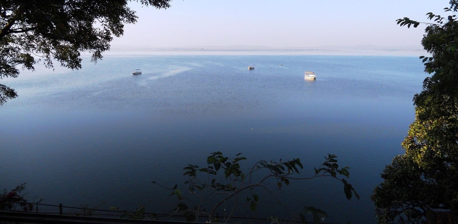
Ramappa Lake is seen here from a raised bank at its edge. Three small boats float on the open water.
Photo: Thirumal Prasad Patil, via Wikimedia Commons · CC BY-SA 4.0

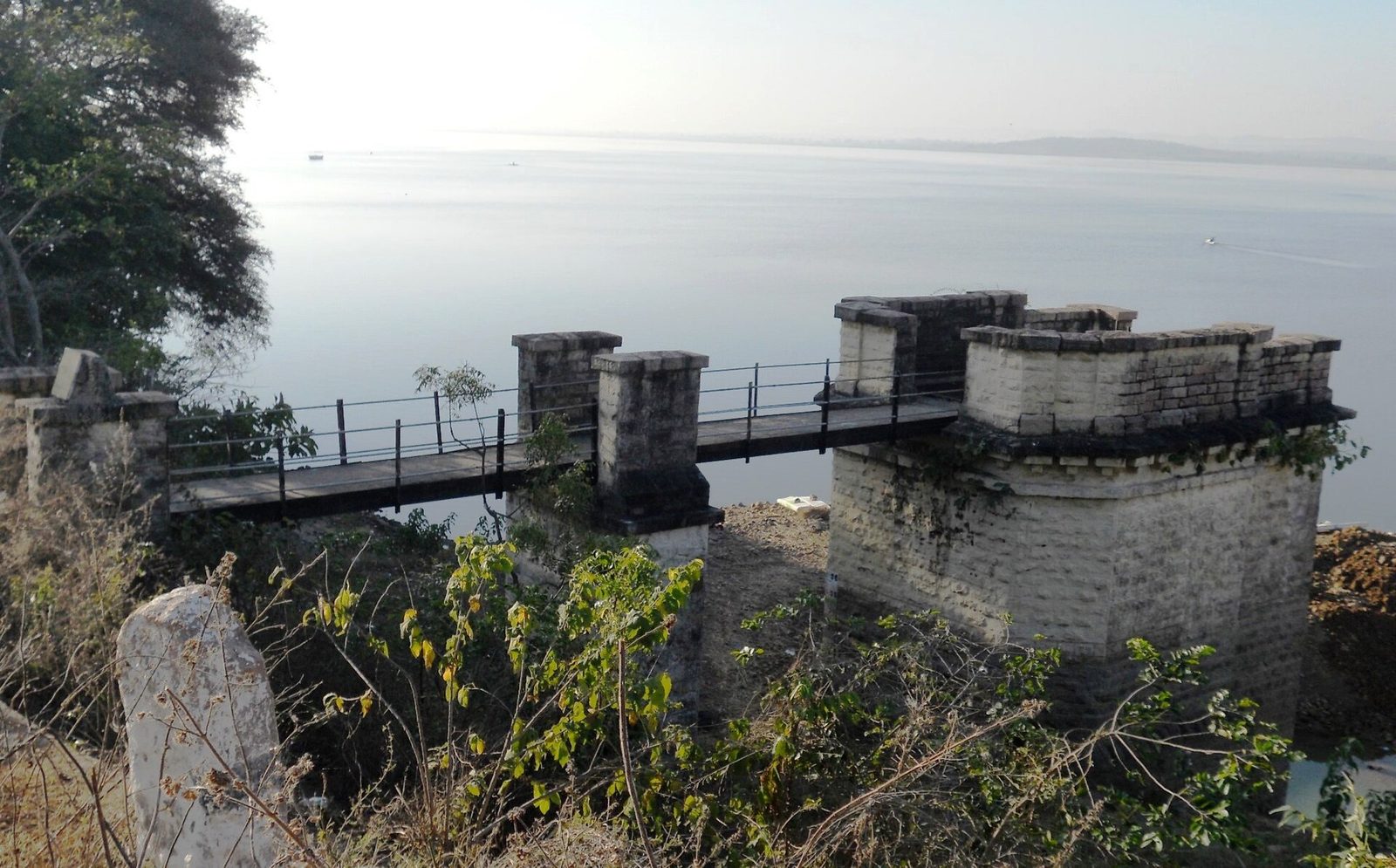
A masonry tower stands at the edge of Ramappa Lake. A narrow footbridge on masonry piers links the tower to the bank. Towers of this kind usually hold the gates of a sluice.
Photo: Thirumal Prasad Patil, via Wikimedia Commons · CC BY-SA 4.0

Detail
- The inscription of 1213 in the temple courtyard says that Recherla Rudra built a city and a pond. The pond “stands like an ocean” and “looks like a mirror for that city”.Epigraphia Telanganica 2023
- Parabrahma Sastry dates the excavation of the lake to Saka 1135 (1213 CE) from this inscription. The lake was probably made at the same time as the temple.Parabrahma Sastry 1978
- An earthen dam about 2,000 feet long and 56 feet high closes a semicircular chain of hills.Rama Rao 1966
- Rama Rao records that the general built the tank and a town named Atukuru on its bund. The Rudresvara temple stood in that town.Rama Rao 1966
- Bunds cross the Medivagu and Rallavagu streams. The catchment is about 184 square kilometres, and four main channels lead from the lake: the Voger, Veerla, Burugu and Somi.District Census Handbook 1986
- The UNESCO dossier places Ramappa Cheruvu south-west of the temple, below the forest hills. The temple stands on the downstream side of the tank.UNESCO dossier 2017
- The dossier states that the Voger channel runs from the lake past the western side of the temple to water the surrounding fields.UNESCO dossier 2017
Historical photographs
These photographs were published a century or more ago. They show the monument as it stood before later repair and restoration.
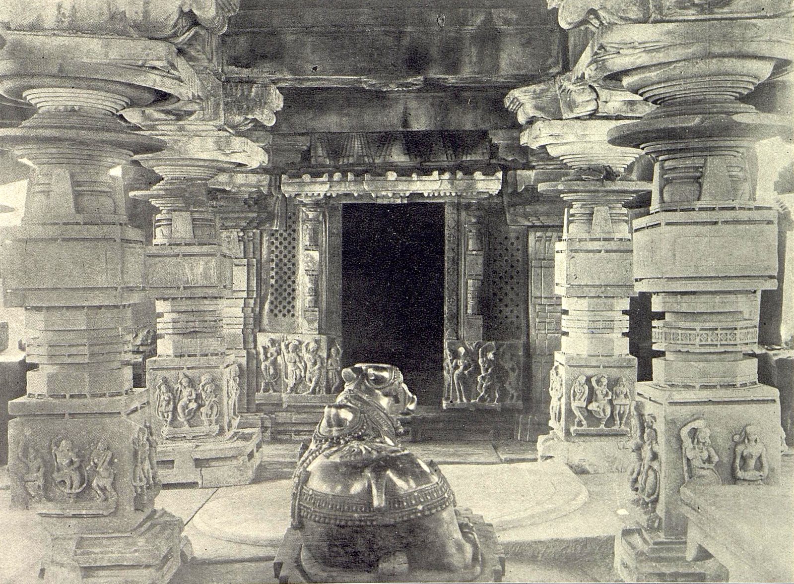
Photographed before 1917
This photograph shows the inside of a temple at the eastern end of the Ramappa Lake embankment. A stone Nandi bull faces the shrine doorway between carved pillars. The photograph was published in 1917 and again in 1922.
Photo: Hyderabad Archaeological Department, The Temples at Palampet (Memoirs of the Archaeological Survey of India 6), 1922 · Public domain
Also recorded as
- Ramappa Cheruvu
- Ramappa tank
- Palampet tank
- Palampet lake
- Atukuru